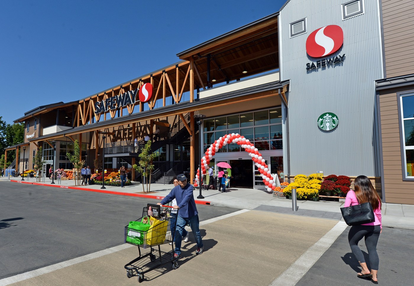
As expected, considerably cooler temperatures accompanied Bay Area residents Wednesday. Thermometers inched upward considerably slower and with a far lower bar than the previous two days.
It was not so much a cool spell as it was a return to normal, according to the National Weather Service.
Related Articles
Bay Area sees record high temperatures as more rain looms later this week
The spring equinox is here. What does that mean?
Bay Area weather showing signs of spring; warming pattern to come after final sprinkle of rain
Bay Area cities’ rainfall totals for last storm of winter
For Bay Area, rain starts fading away following more isolated showers
“We’re near normal along the Central Coast and in the East Bay and South Bay,” NWS meteorologist Roger Gass said. “It’ll be 4-6 degrees below normal up in the North Bay. It’s just that precipitation that’s expected. It’s gonna bring the clouds, and that’s gonna stick around.”
So it is that the warm wave of Monday and Tuesday are left for the record books. Livermore touched 90 degrees on Tuesday, surpassing its 1977 mark of 82 as the hottest March 25th ever. Redwood City (87 degrees) and Richmond (83) broke marks last set in 1952. Oakland (82) broke by 7 degrees a 28-year-old record.
That followed a Monday that saw record highs in King City (90 degrees), Salinas (85), Oakland (84), Redwood City (83), Livermore (81), Half Moon Bay (81) and Richmond (78). The Half Moon Bay Mark was 8 degrees warmer than on the same day in 1941, while the previous marks in King City, Salinas and Richmond all had been set in 1951.
“That was more just a one-off,” Gass said. “The high pressure built and that was that. This time of year, warm-ups are not uncommon. We’ve even had warm Januaries and Februaries. But just the activity of the active pattern that’s continuing along the west in general allowed the low pressure to drop down into our area and head out east.”
The pattern is going to continue for the foreseeable future, Gass said. The weather service said temperatures are not expected to get out of the low 60s anywhere in the region through at least next Wednesday, and that rain will continue to build during that same period.
The heaviest of the rain likely will be “Tuesday or Wednesday of next week,” Gass said. That storm will come after a system that dumps a quarter-inch to half-inch on the East Bay and South Bay starting Saturday.
The appetizer for those is expected to arrive late Wednesday into Thursday, with a system that’s expected to drop about a tenth of an inch of most of the region and perhaps a half-inch in the North Bay.
That coastal instability will cause waves to get higher, and the weather service issued a high surf advisory and beach hazards statement beginning at 5 a.m. Thursday and running through 11 a.m. Friday.
“These next few systems will be generally weak,” Gass said. “There’s not gonna be a lot of major rainfall outside the beach locations.”