As if trying to make up for lost time, nature is turning up the thermostat in the Bay Area for a brief time this week. In some of the hottest areas, it will be hot enough to threaten triple-digits.
Then just when those temperatures come back down, another ominous development is in the making.
Related Articles
Bay Area’s warm rain, mugginess to be replaced by hot and dry conditions
Wildfire threats to California water resources demand attention, group warns
How much rain did we get? Here’s where the most fell
Chances for Bay Area rain this week, as a winter weather pattern arrives early
Small earthquake rattles East Bay
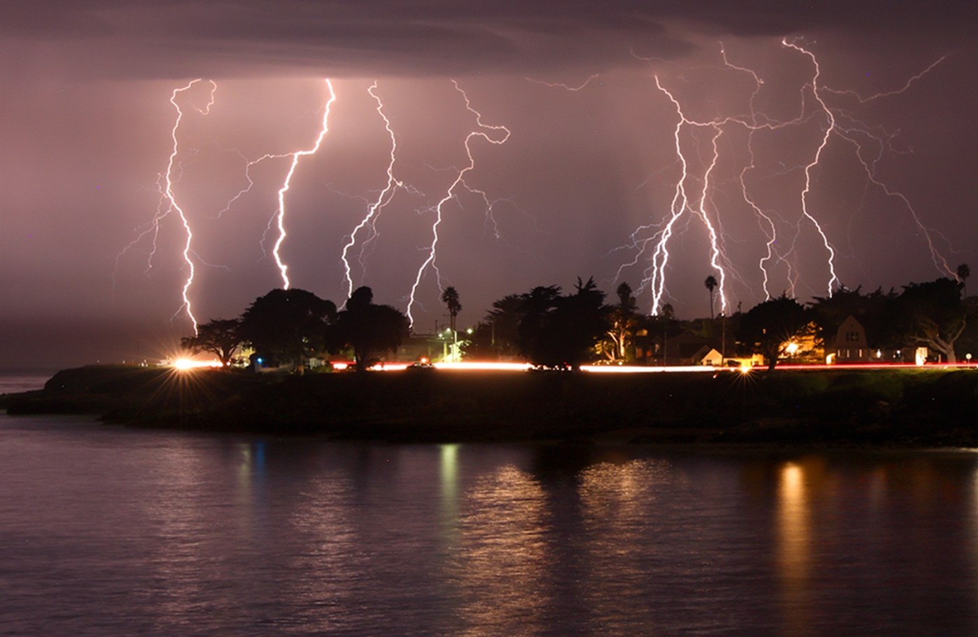
“We could have dry lightning,” National Weather Service meteorologist Roger Gass said.
Indeed, the chances for one of the more extreme weather weeks the region has experienced this summer will get rolling with temperatures that will be hotter than normal early in the week but not as blazing as they were in early September a year ago.
“It’s gonna warm up but it’s not going to be too incredibly hot,” Gass said. “It’s gonna be anywhere from 5 to 15 degrees above average, and probably 5 to 20 above normal for the overnight lows.”
Temperatures are expected to peak Tuesday with Concord and Livermore expected to hit 97 degrees, San Jose 92, Oakland 85, Santa Cruz 83 and downtown San Francisco 75. Monday’s highs are expected to reach 96 in Concord, 95 in Livermore, 90 in San Jose, 84 in Oakland, 82 in Santa Cruz and 77 in downtown San Francisco. Overnight lows are expected to be in the low 60s and high 50s.
Gass said it may feel far hotter, because of the relatively mild temperatures that have marked the summer. The weather service said there will be moderate heat risk for most of the region and urged people to remain hydrated with water and electrolytes and not to leave children or pets unattended in a car.
On Wednesday, high temperatures are expected to be about 2-3 degrees cooler, before falling sharply in the evening, as moisture from Tropical Storm Mario off Mexico’s Pacific Coast brings upper-level moisture, Gass said. That moisture in the upper levels of the atmosphere then will mix with the lower drier air that is creating the high temperatures.
That combination is a bad mix, because it creates instability and electrical volatility in the atmosphere. Thus, lightning that arrives without much rain — a gateway to wildfires — is a possibility as high temperatures dip an average of 10-15 degrees around the region.
“There’s a slight chance,” Gass said. “It’s probably anywhere from 15-30% across the region.”
The weather service forecast that the dry lightning most lightly will start Wednesday night and last into Thursday.
By Friday, most of that threat should be gone, according to the weather service. Temperatures are expected to return to normal levels, with the hottest places expected to peak in the mid-80s with some mugginess attached.