The fast-moving storm that blew through the Bay Area from Tuesday night to Wednesday dropped less than a quarter-inch of rain on most Bay Area cities.
Related Articles
Surfer knocked unconscious at The Hook in Santa Cruz, rushed to hospital
As expected, powerful winds and rain whip through Bay Area
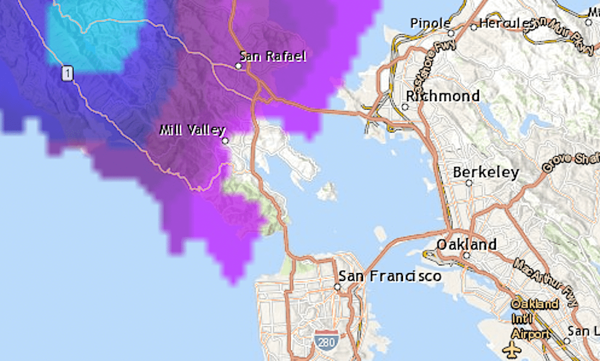
Rain tracker map: Where it’s raining in the Bay Area
‘Bigger danger is the wind’: Bay Area storm to bring gusts up to 45 mph
King tides arrive: How experts and Bay Area residents are taking part in research
As meteorologists had predicted, the North Bay and Santa Cruz Mountains got the highest rainfall totals by far, and several higher-altitude weather stations recorded wind gusts over 60 mph. The charts below show data for sites in Marin County and Bay Area points to the south.
Peak gust reports from Wednesday, Nov. 5
The strongest gust was recorded on Gunsight Fire Road, above Woodacre. Five of the other sites in the top 10 are also in Marin County. In Santa Clara County, the highest wind speed was 61 mph, at a station in the hills above Los Gatos.
Location
MPH
Gunsight Fire Road*
82
Road to Ranches*
76
Montara Mountain
75
Pine Mountain*
73
Black Diamond
73
Lucas Valley*
66
Mount Diablo
66
Pablo Point*
63
Richardson East*
63
Mines Tower
63
* Marin County sites
Rainfall totals Nov. 4-5
Location
Inches
Marin County
Woodacre
2.33
Marin Civic Center
1.7
Point Reyes Station
1.69
Santa Cruz Mtns.
Ormsby Road
1.82
Ben Lomond landfill
1.81
Empire Grade
1.65
Saratoga Sanborn park HQ
1.45
Highway 17 summit
1.42
Uvas Canyon
1.42
Mount Umunhum
1.38