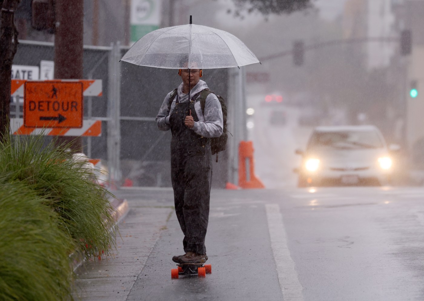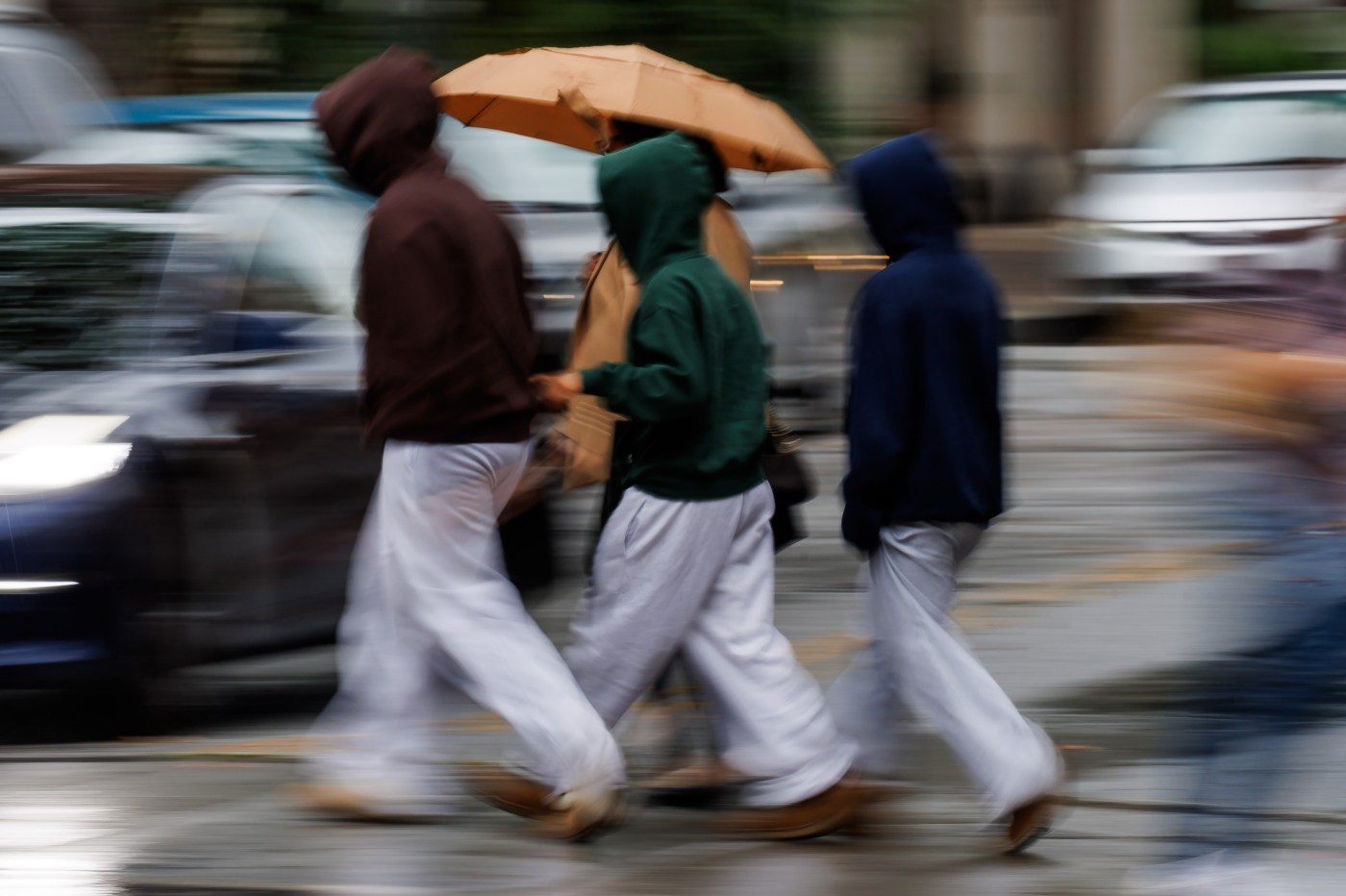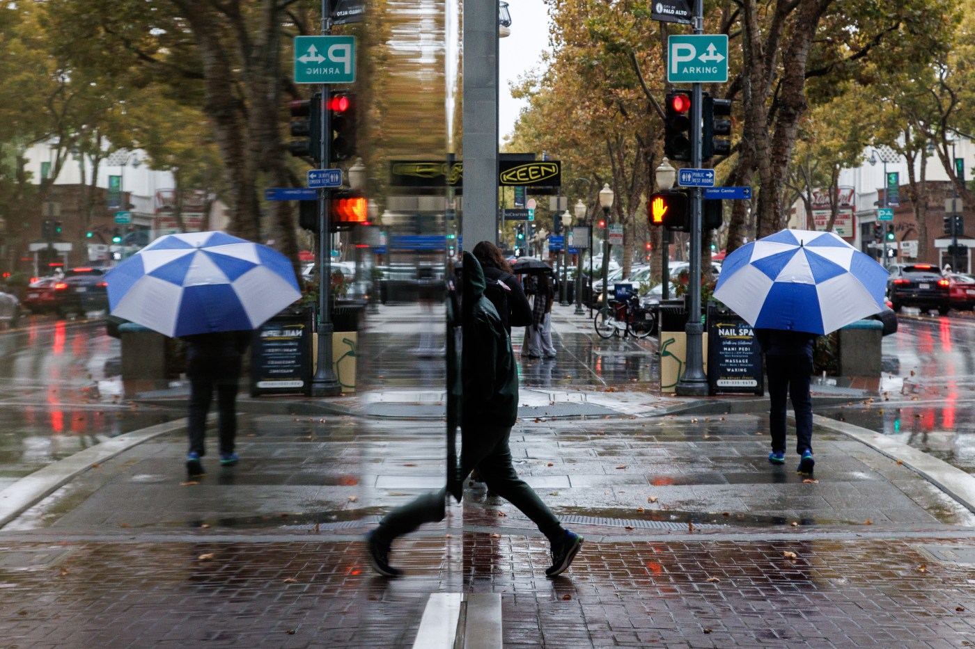
It wasn’t a drenching atmospheric river. But the biggest storm to hit the Bay Area in roughly seven months began to douse much of California on Monday afternoon, slowing motorists, dropping snow in the Sierra Nevada, and providing a clear signal that the winter rainy season has begun.
A cold front from the Gulf of Alaska was expected to bring half an inch to 1 inch of rain for most Bay Area cities, with up to 2 inches in the Santa Cruz Mountains and Big Sur by the time it was all over.
The steady rain began around lunchtime Monday, hitting the North Bay first and working its way south. Forecasters said it was likely to continue overnight into early Tuesday, stopping around mid-morning as the system passes through to the east.
“I expect that by Tuesday morning people will still see wet roadways,” said Jan Null, a meteorologist with Golden Gate Weather Services in Half Moon Bay. “There should still be some random showers.”
The average monthly rainfall total for October in San Francisco is 0.94 inches, 0.88 in Oakland and 0.80 in San Jose, meaning this storm has the potential to bring a month’s rain in two days. While there have been huge storms occasionally in October, like in 1962 and 2021, it’s not normally a rainy month.
On average the Bay Area receives about 50% of its annual rainfall in three months — December, January and February. Getting a decent storm in October is a good way to start the winter season however, experts said Monday. Many of the state’s worst fires have happened during very dry Octobers, when many months have passed without precipitation and vegetation is at its driest.
“This storm is more beneficial than not,” Null said. “It reduces fire risk. It starts the process of moistening up the ground. It starts water flowing in the creeks and rivers. It’s all pluses.”
By 4:30 pm Monday, as umbrellas and windshield wipers came out of hibernation, and rain totals had begun to grow. Mount Tamalpais in Marin County had received 1.27 inches; Santa Rosa airport 0.92 inches; Ben Lomond in Santa Cruz County 0.77; Oakland International Airport 0.49; Tilden Park in the Berkeley Hills 0.45; Fremont 0.32; Los Altos 0.27; San Francisco 0.17; Palo Alto 0.16; and San Jose 0.04.
The National Weather Service issued a flash flood warning Monday afternoon for a small area around Calistoga in Napa County where the Pickett Fire, a wildfire that charred 6,800 acres, burned in August, due to concerns about possible debris flows and mudslides.
Generally, however, there were no significant flooding fears overnight and into Tuesday morning.
“We expect some flooding on roadways where drainages might be blocked,” said Dial Hoang, a meteorologist with the National Weather Service. “But since we are coming out of the summer season, there are lower water levels on the rivers and creeks.”
The last time it rained half an inch in the Bay Area was on March 14, when 0.54 fell in downtown San Francisco. The last time 1 inch or more fell was on Feb. 13 when 1.91 inches fell.
Some Bay Area residents tried to get ahead of the weather, heading to hardware stores early.
“The prepared people buy a bunch of tarps and plastic and caulking and take care of it,” said Matthew Tuckner, manager of Montclair Village Hardware in Oakland. “I can guarantee that once it starts raining a bunch of people will come in when they realize they have leaks. It’s pretty typical this time of year when we get our first storms.”
After Wednesday, sunny weather is forecast to return to much of Northern California through the rest of the week.
PG&E said it did not expect widespread outages from this storm, which was forecast to have modest winds in most parts of the Bay Area.
“We are expecting some impact but our crews are prepared for it,” said Tamar Sarkissian, a PG&E spokeswoman, who noted that if there are outages crews are on alert to move quickly to those areas.
The rain also caused flight delays Monday, with 80 at Oakland, 82 at San Jose, and 298 at San Francisco’s airports by 5 pm, according to FlightAware, which tracks flights.
State emergency officials were most concerned about Southern California, which also was forecast to receive rain from the storm. About 2 inches or more was expected in higher elevations in Santa Barbara, Ventura, and Los Angeles counties.
Gov. Gavin Newsom on Monday ordered the California Office of Emergency Services to preposition more than 200 people and dozens of pieces of equipment including fire engines, bulldozers, helicopters, front loaders, a swift water rescue team and an urban search and rescue company across Southern California, with particular focus on areas that burned in major wildfires in January and last year.
In the Sierra, the storm ushered in a very different type of weather from the sunny days that have characterized recent weeks.
The National Weather Service issued a winter storm warning in the Sierra Nevada until 11 am Wednesday. Total snow accumulations of 4 to 8 inches were expected along the I-80 and Highway 50 corridors, with 1 to 2 feet of snow south of Highway 50 and up to 3 feet at the highest elevations in the Yosemite and Kings Canyon national park areas.
Lake Tahoe was forecast to receive 1-3 inches at lake level and up to 18 inches at higher elevations with wind gusts up to 60 mph, with the most severe weather occurring Tuesday morning.
It began snowing at early Monday morning at the UC Central Sierra Snow Lab near Donner Summit along Interstate 80, said Andrew Schwartz, lead scientist at the facility.
He said the storm, the first with any significant snow of this fall, was expected to bring 10 to 15 inches to the Donner Summit area. But don’t break your skis out just yet.
“It’s likely we’ll see melt between periods of accumulation,” he said.