A Bay Area storm that brought a heavy downpour of rain to the region and snow to the Sierra Nevada took a breath overnight before bracing for another light dousing Tuesday, the National Weather Service said.
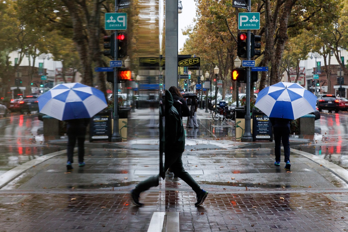
The rain blitz — the fiercest to hit the Bay Area since the spring — reached the region Monday and dropped more than two inches of rain in the Santa Cruz Mountains, about 1¾ inches in Oakland; 1½ inches in San Jose and Walnut Creek, about 1¼ inches in Livermore before 6 a.m. Tuesday, according to the weather service. About two-thirds of an inch fell in San Francisco.
Related Articles
Chart: Rainfall totals from the Bay Area’s October storm
Photos: Season’s first big rainstorm drenches the Bay Area
Flood advisories issued as storm moves through Bay Area
Bay Area rain: Biggest storm in seven months is here. How long will it last?
Rainstorm arrives in Bay Area, bringing ‘treacherous’ evening commutes
In the Sierra, up to 3 feet of snow was expected in certain areas, according to the weather service, with the white stuff falling at elevations about 5,500 feet and above. Snow was expected to fall through Tuesday night into Wednesday morning, and travel over Donner Summit was discouraged by safety officials.
The wrap-up of the stormy Bay Area weather is expected to arrive a bit sooner.
“We’re expecting it to be very much less widespread in its coverage,” NWS meteorologist Roger Gass said of Tuesday’s storm activity. “Some showers are coming over the North Bay, some of them are coming toward the Central Coast.”
The rain that comes with is expected to be lighter overall than it was on Monday but some of the isolated cells that may spread throughout the region “could really bring a hard downfall,” Gass said. Already Tuesday morning, flood advisories had expired in Alameda, Contra Costa Santa Clara, Santa Cruz and southern San Mateo counties.
Come Tuesday night, all of the rain from the system is supposed to be finished.
It all came courtesy a cold front that brought low pressure from the Gulf of Alaska, a system that is much more in keeping with the type of storm that usually develops in the winter.
Instead, this one dumped as more rain than most places of the region usually get for the entire month of October. The average monthly rainfall total for October in San Francisco is .94 inches. It’s 0.88 in Oakland and 0.8 inches in San Jose.
“It was about what we expected,” Ross said.
The storm also brought the threat of thunder and lightning, but Gass said all of the lightning strikes recorded by the weather service remained over the ocean and did not occur over land. The weather service said areas of Alameda and Santa Cruz counties remained under a marginal threat for thunder and lightning Tuesday, but that the greatest chance for the two elements are in Monterey and San Benito counties.
Gass said the Bay Area will spend the rest of the week drying out from the storm, with a partially cloudy sky to be replaced by clear one as the week progresses. By Friday, the temperatures in the hottest spots are likely to return to the 70s.