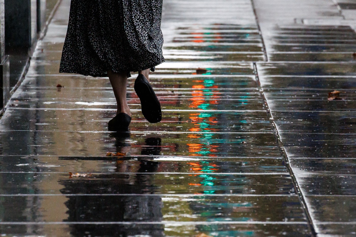
Tree branches whipped up and down and side-to-side, and the force of the wind that made them dance in the cold temperatures whistled. It was a signal early Wednesday that the arrival of a significant November storm promising to blow heavy winds and drop significant rain on much of the region was at hand.
It was just a matter of time for the rain, according to the National Weather Service.
Related Articles
Rain tracker map: Where it’s raining in the Bay Area
‘Bigger danger is the wind’: Bay Area storm to bring gusts up to 45 mph
King tides arrive: How experts and Bay Area residents are taking part in research
Suffer six cold-weather Bay Area hikes and reap the rewards
November marks start of Bay Area rainy season. A storm is arriving right on time
“The main rain band is still in the North Bay (Wednesday) morning,” NWS meteorologist Brayden Murdock said. “But the winds are building up before the rains do. You’re starting to see some of the stronger ones moving to the south, and the rain will follow.”
The storm, which is being fueled by an atmospheric river moving down from the Gulf of Alaska, is “typical” because of the powerful winds that are preceding the rain, Murdock said. Those winds were expected to gust about 45 mph throughout the region but may get higher in the upper elevations and in isolated areas. Murdock said areas of Calaveras Road near Fremont clocked 54 mph winds before sunrise Wednesday.
RELATED: Rain tracker map: Where it’s raining in the Bay Area
A high wind warning remained in effect Wednesday until 4 p.m. for coastal areas north of the Golden Gate Bridge.
By then, rain is expected to be falling in areas of the region outside the North Bay. The Santa Cruz Mountains are expected to receive between a half-inch and an inch, while the East Bay and areas of the South Bay and Peninsula are likely to get between a quarter-inch and half-inch, according to the weather service.
The rain could miss San Jose and other parts of Santa Clara County, because of a rain shadow that often occurs during atmospheric rivers, Murdock said. Those happen as moist air is lifted by terrain of the Santa Cruz Mountains, which creates more rain amounts as the cool air condenses. Then the air become dry and less rain falls as the air is forced downward as it gets to the other side.
Also at play during the storm will be king tides along the coast. Tides are expected to reach their highest point of the year from Wednesday until Friday, and Murdock said that could add to some of the minor flooding that may occur on roadways and other places. The weather service has said river flooding is not anticipated.
How long the rain will fall Wednesday remains uncertain.
“It’s still keeping its momentum,” Murdock said of the storm’s pace. “We haven’t seen too much of a slow down, and I don’t think it will lose too much of its steam.”
According to forecasts, that would mean rain is likely to stop falling for much of the region sometime late Wednesday. Murdock said the region is likely to be wet come Thursday morning and that the drying-out period may not be immediate because “it’s going to be on the cool side” Thursday,
By the weekend, temperatures are expected to reach the low 70s in some spots, amid partially cloudy sky. Murdock said the weather service is eyeballing another possible system that may cause rain next week but that it’s still a bit early to determine how that will unfold.


