As part of a new plan to stabilize California’s home insurance crisis, state regulators have updated a map of fire-risk areas where insurers will soon be expected to write more policies. The goal is to push providers to expand coverage in places where they’ve dropped hundreds of thousands of homeowners in recent years amid worsening wildfire losses.
Yet many Bay Area neighborhoods facing the most serious fire hazards, from the Oakland and Berkeley hills in the East Bay to the Gilroy area at the southern tip of Silicon Valley, aren’t included in the latest map.
Why? Because those communities, often suburban clusters at the edge of parks or open spaces, are within ZIP codes in which the overall risk has been determined to be relatively low. (The insurance map is separate from wildfire hazard maps released by fire officials.)
Even so, state insurance regulators say the new rules, which are rolling out, still require providers to add policies in those neighborhoods, but only for homeowners who can’t find traditional coverage because their properties are deemed too risky.
“Insurance companies have ignored those homes, and we’re trying to put the spotlight on them,” said Michael Soller, a spokesperson for the California Department of Insurance.
Despite leaving some high-fire areas off the map, regulators say the plan is designed specifically to benefit suburban homeowners in the Bay Area and beyond with the least access to insurance — even as consumer groups cast doubt the reforms have the teeth to hold insurers accountable and worry rates will skyrocket.
The department’s plan to expand coverage centers on a recently finalized deal with the insurance industry. In exchange for allowing insurers to set homeowner premiums based on the threat of climate change and costs related to catastrophic wildfires, companies must agree to cover more fire-risk properties.
While that means rates will likely continue rising for some time, regulators hope the plan will lead to a more equitable insurance market.
According to the personal finance site Bankrate.com, Californians pay an average of $1,435 a year for basic homeowners insurance, lower than the national average. However, prices vary widely based on factors such as location and the amount of coverage purchased.
Since 2023, California’s largest insurance companies, including State Farm and Allstate, have stopped writing new policies anywhere in the state, even though they’ve won regulators’ approval for rate increases. The industry points to the state’s current rate-setting rules, which are among the strictest in the country, as part of the reason for the pause.
Insurers maintain making it easier to raise rates is necessary to ensure they can keep doing business in the state after taking billions of dollars in losses in past wildfires.
“We remain committed to working with the Department to implement this critical reform as quickly as possible to increase access to coverage for all Californians,” the American Property Casualty Insurance Association, an industry group for insurers, said in a statement.
Consumer advocates, meanwhile, contend the changes will lead to steep rate hikes of as much as 50%, and they remain deeply skeptical that regulators can compel insurers to write more policies.
“The so-called ‘insurer commitments’ to expand coverage are riddled with loopholes that will allow insurers to use secret models to raise rates right away, with unenforceable promises to sell more coverage years down the road,” Carmen Balber, executive director of Los Angeles-based Consumer Watchdog, said in an email.
Regulators have disputed those claims, responding the insurance department must approve any rate increase and can revoke companies’ ability to use the new rate-setting rules if they fail to meet coverage requirements.
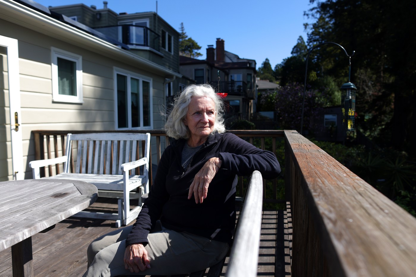
Carolyn Grote, who lives in the fire-prone Berkeley Hills, is working to ensure she doesn’t have to rely on the reforms. When two neighbors were recently dropped by their insurance companies, Grote and other homeowners on her street formed a wildfire preparedness group to clear vegetation and install fire-safe landscaping.
Under a recent state mandate, neighborhoods that create such groups, known as “Firewise communities,” are eligible for insurance discounts. Grote, who spent around $1,000 to remove a Japanese maple tree that hung over the garage of the home she and her husband bought about 35 years ago, hopes forming the group may also dissuade her insurer, USAA, from one day canceling her coverage.
“If Firewise could help people retain their insurance, that might be the biggest motivator,” she said.
When homeowners lose their coverage, they often have little choice but to sign up for the FAIR Plan, the state’s last resort insurance program, which is facing financial uncertainty. The program is a state-mandated, private insurance pool offering limited coverage that can cost more than twice a standard policy.
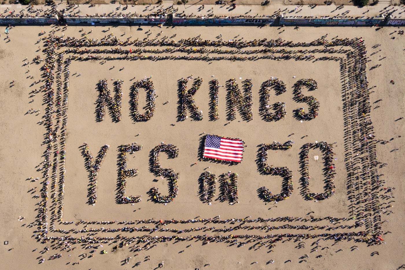
Related Articles
Elias: Trump harming own stated goals with forestry cuts in California
3 charged with filing false claims for Southern California wildfires to get disaster funds
California lawmakers discuss faulty emergency alert systems after Southern California wildfires
As Southern California wildfires raged, these residents watched their homes burn on doorbell video
Nearly 20% of one California city fires ‘likely’ began by homeless encampments, data shows
The FAIR Plan also plays a key role in the state’s latest insurance regulations.
To determine areas where insurers must provide additional coverage through the new rate-making rules, the insurance department identified fire-prone ZIP codes with more than 15% of homeowners on the FAIR Plan, as well as ZIP codes where incomes are low and insurance premiums are high.
The department also designated 29 mostly rural counties — including Santa Cruz, Napa and Monterey — where insurers are expected to add coverage.
In fire-risk areas that do not meet those criteria — including suburban communities across Santa Clara, San Mateo, Alameda and Contra Costa counties — insurers must absorb policyholders currently on the FAIR Plan. In doing so, companies are required to offer homeowners less expensive, traditional policies.
Large and mid-size insurers that opt into the plan are required to cover a proportional share of 85% of the 1.4 million policyholders statewide in designated ZIP codes and counties, or on the FAIR Plan in high-fire areas, regulators said.
The rule works like this: If a company covers 100 of every 1,000 policies in the state, it would need to cover 85 of every 1,000 high-risk policies.
Consumer advocates, however, have raised concerns the new regulations may allow some companies to increase coverage by as little as 5% and that others may take years to reach the 85% threshold. Additionally, if insurers are already at 85%, they may not need to add any new policies.